Satlas
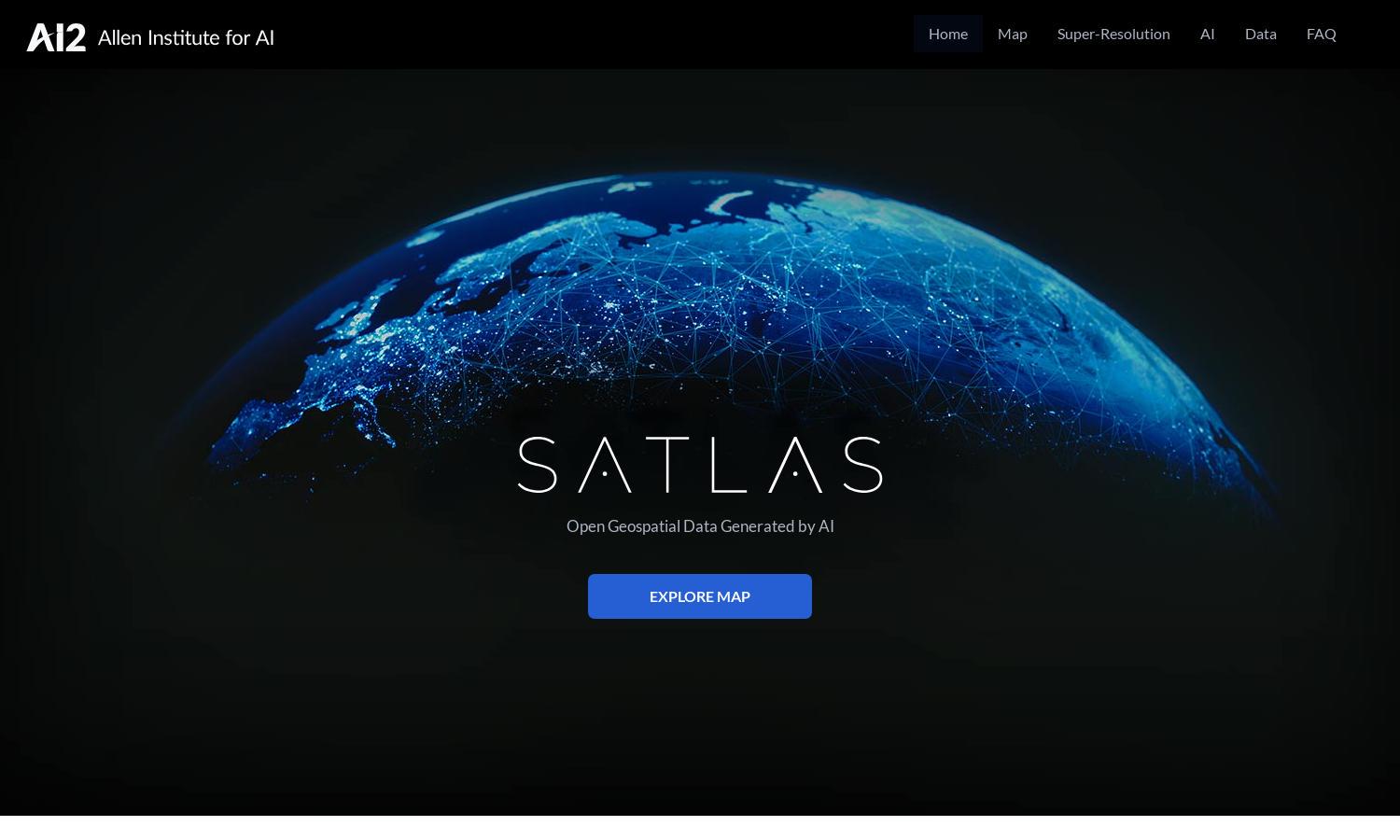
About Satlas
Satlas is a groundbreaking platform designed for researchers, environmentalists, and the general public to explore Earth's changes through AI-annotated satellite imagery. By leveraging advanced AI models and extensive datasets, Satlas empowers users to analyze critical data on infrastructure and environmental transformations seamlessly.
Satlas offers free access to valuable geospatial datasets generated by AI. There are no subscription tiers as the data is publicly available, allowing users easy offline analysis. Upgrading isn't necessary, making it financially accessible for the community interested in environmental monitoring and research.
The user interface of Satlas is designed for easy navigation, featuring a straightforward layout that allows users to seamlessly explore satellite imagery and access geospatial data. Unique features include super-resolution capabilities to enhance image clarity, ensuring a user-friendly experience for all.
How Satlas works
To interact with Satlas, users simply visit the website and can explore various satellite imagery. The platform offers an intuitive interface for accessing different datasets. Users can easily search and analyze specific regions or topics, leveraging advanced AI technology to visualize changes in Earth’s infrastructure and environment effectively.
Key Features for Satlas
AI-annotated Satellite Imagery
Satlas leverages AI-annotated satellite imagery to provide detailed insights about the Earth’s changes. This unique feature allows users to visualize and understand complex environmental transformations, making Satlas indispensable for researchers and environmental enthusiasts seeking comprehensive geospatial data.
Geospatial Data Accessibility
Satlas offers freely accessible geospatial datasets generated by AI for users to analyze offline. This feature emphasizes the platform's commitment to open data, allowing researchers and the public to study vital environmental changes without financial barriers, enhancing community engagement and knowledge.
Super-Resolution Technology
The super-resolution technology in Satlas enhances low-resolution satellite images to high-resolution clarity, allowing users to observe fine details previously unnoticed. This capability significantly boosts users' ability to analyze environmental changes and infrastructure developments effectively, making Satlas a powerful research tool.
You may also like: